 ultimate-guide
Real Estate Drone Photography Legal Requirements 2026
Table of Contents
- Why Legal Compliance Matters for Real Estate Drone Photography
- FAA Part 107 Certification Requirements for Commercial Operations
- Drone Registration, Weight Limits, and Equipment Regulations
- Property Release Forms for Real Estate Photography
- Drone Flight Over Private Property Laws and Airspace Rules
- Liability Insurance and Risk Management for Drone Operators
- State Privacy Laws and Data Handling After the Flight
- Your Pre-Flight Compliance Checklist
Last Updated: August 30, 2026
Why Legal Compliance Matters for Real Estate Drone Photography
Real estate drone photography legal requirements have become non-negotiable for agents and property managers. Stricter FAA enforcement, state-level privacy laws, and insurance requirements create a complex regulatory landscape that affects every flight.
At Desert Home Photography, we've worked with real estate professionals across the Phoenix Valley. The legal and financial consequences of non-compliance can be significant.
The truth is straightforward: if you're capturing aerial footage for a property listing, you're operating commercially under FAA rules. Compliance isn't optional. This guide walks through every legal requirement you need to understand before the drone leaves the ground, from FAA Part 107 certification to property release forms to state privacy statutes.
FAA Part 107 Certification Requirements for Commercial Operations
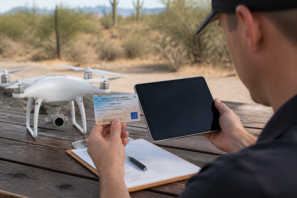
The FAA Part 107 certification is the foundation of legal real estate drone photography. If you're flying a drone for commercial purposes, you need a Remote Pilot Certificate.
To qualify, you must be at least 16 years old, read and speak English, and pass the FAA's knowledge test covering airspace rules, weather, emergency procedures, and unmanned aircraft regulations. Most people study 20-30 hours before taking it. The exam costs around $175 and requires 70% to pass. Your Remote Pilot Certificate is valid for three years, then requires a recurrent exam to renew.
Here's what many real estate professionals miss: Part 107 certification is personal to you. If you hire a photographer, that photographer must be Part 107 certified. You can't delegate this requirement and expect to avoid liability. Insurance companies will deny claims if the operator wasn't legally certified.
The certification comes with operational limits that directly affect real estate photography:
- Maximum altitude of 400 feet above ground level (AGL)
- Maximum speed of 100 miles per hour
- Visual line of sight requirement (you must see the drone at all times)
- No flying over people or moving vehicles
- Daylight operations only (unless you have a waiver)
The FAA enforces these limits with fines starting at $27,000 for civil violations and reaching $250,000 for criminal violations (faa.gov).
Drone Registration, Weight Limits, and Equipment Regulations
Every drone used for real estate photography must be registered with the FAA. The registration costs $5 and is valid for three years (faa.gov). You register the drone itself and must display the registration number on the aircraft.
The weight limit of 55 pounds is critical because it determines which regulations apply (faa.gov). Drones under 55 pounds fall under Part 107. For real estate work, you'll almost always operate drones under this limit. The DJI Air 3S and similar professional platforms all fall well within this threshold.
Your system includes the aircraft, controller, battery, and any payload (camera, thermal sensor, etc.). All must be in airworthy condition. Conduct a pre-flight inspection every time you fly to catch battery degradation, loose propellers, or controller calibration issues before they cause a crash.
For real estate applications, your camera equipment matters. Most professional real estate drones carry high-resolution cameras (20+ megapixels) to capture property details clearly. All equipment must be documented and accounted for in your flight planning.
Property Release Forms for Real Estate Photography
A property release form is your legal permission to photograph and use images of someone else's property. This protects you from claims that you violated someone's right to control how their property is depicted.
The release should state clearly that the property owner grants you permission to:
- Photograph the property from all angles, including aerial views
- Use the images for marketing, listing purposes, and promotional materials
- Display the images on websites, social media, and other platforms
- License the images to third parties (if applicable)
The form should also address data handling, specifying how you'll store, process, and eventually delete images.
For real estate transactions, the property owner or their authorized agent must sign the release before you fly. If the property is listed with an agent, get written authorization from the agent. If it's a for-sale-by-owner situation, get it directly from the owner. A verbal agreement isn't enough, the release must be in writing and signed. Digital signatures are acceptable, but you need documentation that the person signing had authority to grant permission.
Many photographers skip this step, assuming the listing agent's request is sufficient authorization. It's not. The listing agent can authorize photography for listing purposes, but may not have authority to grant broader usage rights. Get your own separate property release that clearly defines what you can do with the images.
Drone Flight Over Private Property Laws and Airspace Rules
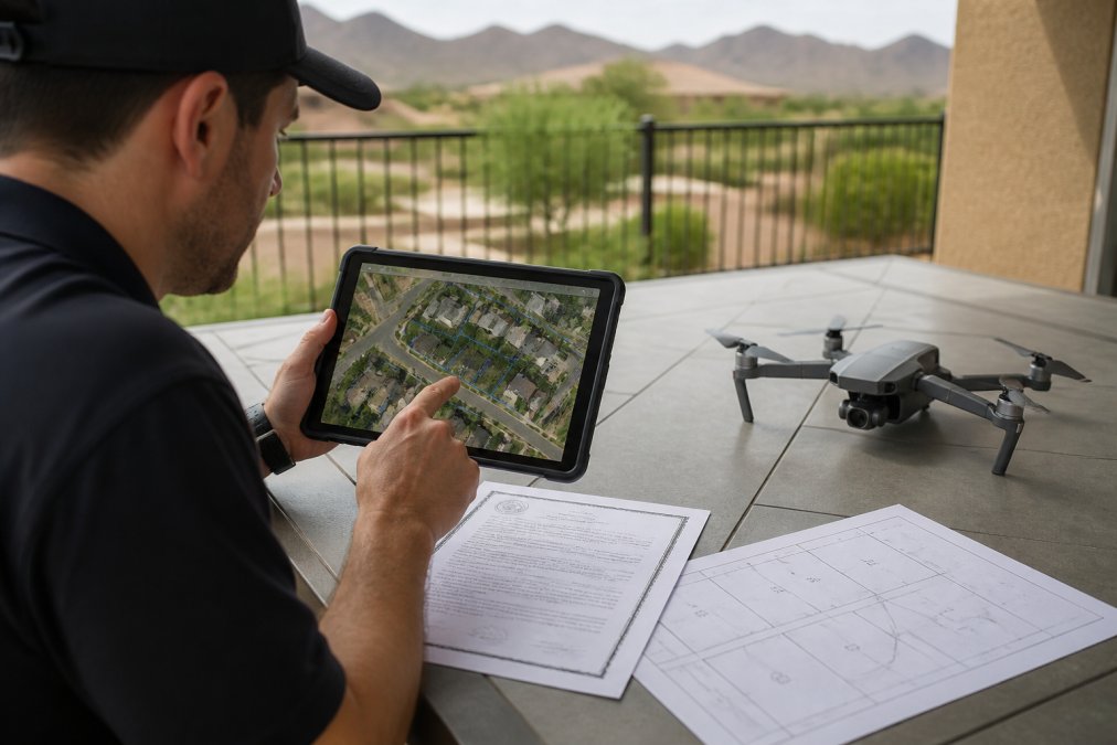
Flying over private property creates legal exposure that many real estate photographers underestimate. The question isn't whether you can fly, but whether you can fly without the property owner's permission.
Airspace is divided into controlled and uncontrolled categories. Controlled airspace includes areas near airports, where you need authorization before flying. "Uncontrolled" doesn't mean "unrestricted", you still need permission from property owners below you.
The legal principle is called "trespass to airspace." Modern courts have narrowed the old common law rule that property owners own airspace "to the heavens," but property owners still have rights. In practice:
- If you're flying below 83 feet AGL over someone's property, you likely need their permission
- If you're flying between 83 feet and 400 feet AGL, the legal status is murkier, but you should still get permission to avoid disputes
- If your drone drifts over a neighbor's property, you could face a trespass claim even if unintentional
Several states have passed drone privacy laws adding another layer. Arizona, for example, makes it illegal to operate a drone over someone's property with intent to conduct surveillance or without consent. These laws protect property owners from invasive surveillance but create liability for photographers who aren't careful.
The practical solution: always get written permission from property owners before flying. If your drone needs to drift over neighboring property to capture the full exterior, get permission from neighbors too. For airspace authorization in controlled airspace, use the LAANC (Low Altitude Authorization and Notification Capability) system, which provides real-time authorization in minutes.
Liability Insurance and Risk Management for Drone Operators
Liability insurance for drone operations is not optional if you operate professionally. Standard business insurance doesn't cover drone-related claims. You need specialized unmanned aircraft liability coverage.
This insurance typically covers bodily injury liability, property damage liability, invasion of privacy claims, and defense costs. Most policies require that you hold a Part 107 certificate and follow FAA regulations. If you operate outside those requirements, your claim will be denied.
Coverage limits typically start at $1 million in liability, which is usually sufficient for real estate work. Some clients, particularly institutional property owners, will require proof of insurance before authorizing flights. Get a certificate of insurance and keep it accessible. Some clients may request higher limits or ask to be named as additional insured parties, these requests are reasonable and relatively inexpensive.
Read your policy carefully to confirm it specifically covers real estate photography operations. Some policies exclude certain uses or have restrictions on commercial activities. An exclusion buried in the policy language could leave you uninsured when you need coverage most.
Cost varies based on coverage limits, deductible, and claims history, but expect to pay several hundred to a couple thousand annually for comprehensive unmanned aircraft liability coverage.
State Privacy Laws and Data Handling After the Flight
State privacy laws are evolving rapidly and affect how you handle images and data after the flight. Several states have passed laws specifically addressing drone surveillance and privacy expectations.
Arizona's drone privacy law makes it illegal to operate a drone over someone's property with intent to conduct surveillance or to photograph someone without consent. For real estate purposes, this is straightforward, you're photographing the property structure and exterior features, not surveillance. But if your images capture private activities or intimate details, you've crossed into problematic territory.
Beyond privacy laws, handle image data responsibly. You're collecting data about property location, condition, and features. You should:
- Store images securely (encrypted drives or password-protected cloud storage)
- Limit access to authorized parties only
- Delete images after a reasonable retention period (typically 1-2 years after the listing closes)
- Inform clients about your data retention and deletion practices
If working with property managers or institutional clients, ask about their data handling requirements. Many larger organizations have security policies dictating how images must be stored and who can access them. Compliance with these policies is part of your contract.
Your Pre-Flight Compliance Checklist
Before every flight, run through this checklist to ensure you're operating legally and safely:
Certification and Registration:
- Verify your Part 107 Remote Pilot Certificate is current
- Confirm the drone is registered with the FAA and the registration number is displayed
- Check that your insurance certificate is current and covers the planned operation
Airspace and Authorization:
- Verify the flight location is in uncontrolled airspace or check LAANC for authorization
- Confirm there are no NOTAMs (Notices to Airmen) affecting the area
- Check for any local drone restrictions or temporary flight restrictions (TFRs)
Property and Legal Permission:
- Obtain written property release from the property owner or authorized agent
- If flying near neighbors' properties, get written permission from those owners
- Verify you have a signed contract with the client defining usage rights
Equipment:
- Inspect the drone for visible damage, loose propellers, or battery issues
- Verify battery charge is sufficient for the planned flight duration plus reserve
- Test the controller and confirm all functions respond correctly
- Check camera settings and confirm the camera focuses properly
Weather and Environment:
- Verify wind speed is within limits
- Confirm visibility is adequate for visual line of sight operations
- Check for rain, fog, or other conditions affecting flight safety
- Note the time of sunset to ensure you finish before darkness
Flight Plan:
- Map your flight path to stay within 400 feet AGL
- Identify any obstacles (buildings, power lines, trees) in the flight area
- Plan your takeoff and landing zones for safety and privacy
- Confirm you can maintain visual line of sight throughout the flight
Data and Privacy:
- Confirm your plan for storing and protecting captured images
- Verify your data retention and deletion timeline aligns with client expectations
- Ensure nearby residents won't have privacy concerns about your flight path
This checklist takes 10-15 minutes to complete before each flight. It's the difference between a professional operation and a risky one.
Real estate drone photography legal requirements exist to protect property owners, neighbors, and the public. They also protect you. When you operate with proper certification, insurance, permissions, and data practices, you eliminate most of the legal and financial risks that catch photographers off guard.
Desert Home Photography works with agents and homeowners throughout the Phoenix Valley who understand that professional drone photography requires professional standards. Our FAA-licensed operators follow this exact framework for every flight. The result is stunning aerial imagery that elevates listings while keeping all parties protected. If you're ready to add professional drone photography to your marketing toolkit, reach out for a consultation.
Frequently Asked Questions
Q: Do I need a drone license to photograph real estate properties commercially?
A: Yes. The FAA requires a Remote Pilot Certificate under Part 107 for any commercial drone operation, including real estate photography. You must pass the Part 107 knowledge test and meet eligibility requirements. Recreational flight (non-commercial) has different, less stringent rules, but any payment for drone services makes it commercial. Your certificate must be current and displayed when operating.
Q: What is a property release form and why do I need one for drone photography?
A: A property release form is a legal document signed by the property owner authorizing you to conduct drone operations over their property and use the resulting images for marketing. It protects you from liability claims and clarifies usage rights. For real estate listings, this form should specify the scope of flight, altitude limits, image usage, and duration of authorization. Always obtain written consent before flying.
Q: What are the altitude and airspace restrictions for real estate drone photography?
A: Part 107 limits commercial drone flight to 400 feet above ground level (AGL). You must maintain visual line of sight at all times. If the property is in controlled airspace (near airports), you need airspace authorization through LAANC (Low Altitude Authorization and Notification Capability). Uncontrolled airspace typically requires only a NOTAM (Notice to Airmen). Always check your specific location's airspace classification before scheduling flights.
Q: What liability insurance do I need for real estate drone operations?
A: Commercial drone operators should carry general liability insurance covering bodily injury and property damage. Most policies require minimum coverage of $1 million. Some clients, particularly larger real estate firms, may require proof of insurance before authorizing flight. Coverage protects you if the drone causes damage or injury, and demonstrates professional risk management. Ask your insurance provider about unmanned aircraft system (UAS) coverage specifically.
This article was written using GrandRanker