 how-to
Schedule Professional Drone Photography: A Guide
Table of Contents
- Why Professional Drone Photography Matters for Real Estate
- Understanding FAA Part 107 Certified Drone Pilot Requirements
- Drone Photography Preparation Checklist Before Your Session
- How Long Does a Drone Photography Session Take
- The Flight Coordination and Scheduling Process
- Post-Production Workflow and Turnaround Time
- What to Expect From Your Aerial Imagery Deliverables
- Conclusion
Last Updated: August 22, 2026
Why Professional Drone Photography Matters for Real Estate
Aerial imagery has fundamentally changed how properties sell. Buyers now expect to see a home from above before scheduling a showing, and listings without drone photography consistently underperform compared to those with it. Properties with professional drone photography attract more qualified leads and often sell faster than comparable listings shot from ground level alone.
Today's competitive listings demand a comprehensive visual story, increasingly including aerial perspectives that showcase lot size, landscaping, proximity to amenities, and architectural details that ground-level photography cannot capture.
This guide from Desert Home Photography covers everything you need to know about scheduling professional drone photography for your property listings. Whether you're a real estate agent managing multiple properties or a homeowner preparing to sell, understanding the process from preparation through final delivery ensures you get the best possible results and can plan your listing timeline accordingly.
Understanding FAA Part 107 Certified Drone Pilot Requirements
Before any drone takes flight over your property, it must be operated by someone who meets strict federal requirements. The FAA Part 107 certification is not optional, it's the legal foundation for all commercial drone operations in the United States.
An FAA Part 107 certified drone pilot has passed a comprehensive examination covering airspace regulations, safety protocols, weather considerations, and emergency procedures (faa.gov). This certification demonstrates that the operator understands how to conduct flights safely and legally. When you hire a professional drone photography service, verifying their FAA Part 107 credentials is your first quality checkpoint.
Desert Home Photography employs FAA-certified remote pilots who understand the specific regulations that apply to residential properties in the Phoenix Valley area. When you work with a licensed operator, you're ensuring the flight complies with all applicable regulations and that liability rests with a properly credentialed professional.
Drone Photography Preparation Checklist Before Your Session
Professional results begin before the drone ever leaves the ground. Proper preparation ensures the photographer can access the best angles, complete the shoot efficiently, and capture your property in its best light.
Property Preparation
Your property's appearance directly impacts the quality of aerial imagery. Start with basic property maintenance two to three days before your scheduled session. Clear the driveway of vehicles if possible, an empty driveway photographs far better than one cluttered with cars. Trim any low-hanging tree branches that might obstruct roofline views, and ensure the grass is mowed and visible debris is removed.
For the yard itself, arrange deck furniture neatly rather than scattered. If you have a pool, make sure it's clean and the water is clear. Mention unique features like a tennis court, extensive gardens, new additions, or distinctive architecture during your initial consultation so the photographer can plan flight paths specifically to showcase these elements.
Weather and Environmental Considerations
Weather is the single biggest factor in scheduling drone photography sessions. Ideal conditions feature light winds (under 10 mph), clear skies, and good visibility (faa.gov). Overcast days can work well for real estate photography because they eliminate harsh shadows, but heavy cloud cover reduces visual impact. Rain or snow makes flight impossible.
Wind is the primary environmental constraint. Drones have maximum wind speed ratings, and flying in gusty conditions risks losing control or damaging equipment. Morning hours typically offer calmer winds than afternoons, which is why many professional sessions are scheduled early in the day.
Seasonal considerations matter in the Phoenix Valley. Spring and fall often provide the clearest skies and most stable flying conditions. If your property is surrounded by trees, seasonal leaf coverage affects how much of the surrounding landscape is visible in aerial shots.
Airspace and Legal Requirements
Before any drone photography session can proceed, the photographer must verify airspace clearance and comply with local regulations. The FAA maintains restricted airspace around airports, military installations, and other sensitive areas. Your property's location determines whether special airspace authorization is required.
In the Phoenix Valley, proximity to Sky Harbor International Airport or other airfields may require additional clearance before flight operations can begin. Additionally, local municipalities sometimes have specific regulations about drone operations, and certain residential areas have homeowner association restrictions on drone flights. A professional drone photography service will verify all these requirements during the booking process.
How Long Does a Drone Photography Session Take
A typical professional drone photography session for a residential property takes between 30 minutes and 90 minutes, depending on property size, complexity, and weather conditions.
For a standard residential property, expect the session to last approximately 45 to 60 minutes. This includes arrival and equipment setup (10-15 minutes), the actual flight time capturing imagery from multiple angles and altitudes (20-30 minutes), and equipment breakdown and departure (5-10 minutes).
Larger properties, those with complex architecture, or properties with multiple outbuildings may require extended flight time. Luxury properties in Scottsdale or Paradise Valley with significant acreage might take 75 to 90 minutes to photograph properly. Conversely, smaller properties or simple rectangular homes might require only 30 to 40 minutes.
Weather delays can extend the session. If wind conditions are marginal when the photographer arrives, they may wait 15 to 30 minutes for conditions to improve rather than immediately reschedule. If you've added drone videography, thermal imaging, or orthomosaic mapping, the flight time increases accordingly.
The Flight Coordination and Scheduling Process
Scheduling professional drone photography involves several steps, each designed to ensure the shoot runs smoothly and produces the results you need.
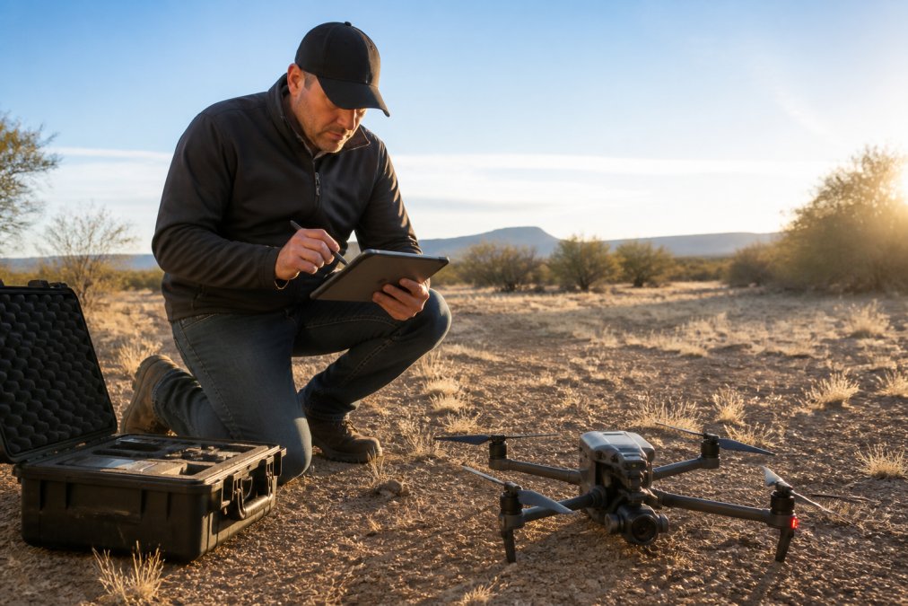
The process begins with an initial consultation where you discuss your property, your goals, and any specific angles or features you want emphasized. The photographer asks questions about property access, any obstacles (trees, power lines, structures), and your preferred delivery timeline.
Next comes the scheduling phase. You'll provide your property address, preferred dates, and any time constraints. The photographer checks airspace status using FAA databases to confirm no special authorizations are needed and verifies local regulations. Once a date is confirmed, you'll receive pre-shoot instructions including reminders about property preparation, parking arrangements, and any access details needed.
On shoot day, the photographer arrives early to scout the property, identify the best flight paths based on current conditions, and check equipment. The actual flight operations begin once everything is ready, weather is favorable, and airspace is clear.
Post-Production Workflow and Turnaround Time
Raw drone footage and images are just the beginning. Professional post-production transforms raw files into polished deliverables that showcase your property at its best.
Post-production begins with file review and organization. The photographer reviews all captured imagery and video footage, selecting the best shots from multiple angles and altitudes. Selected images then move into editing, where hand-blended imaging techniques carefully adjust exposure, color balance, and contrast to present the property in its most appealing light while maintaining authenticity.
For drone videography, post-production includes color grading, transitions, music synchronization, and rendering to final format. This work is significantly more time-intensive than still image editing.
Turnaround time typically ranges from 3 to 7 business days for still photography packages. Video packages often require 7 to 14 business days due to additional editing complexity. Rush delivery is sometimes available for an additional fee, but standard timelines account for thorough quality control and careful editing work.
What to Expect From Your Aerial Imagery Deliverables
Professional drone photography delivers several distinct types of visual content, each serving different marketing purposes.
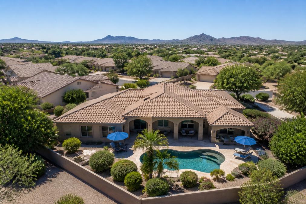
High-resolution still images are the foundation of most drone photography packages. These are typically delivered in 4K resolution (4096 x 2160 pixels), providing exceptional detail and flexibility for cropping and printing (peer-reviewed research). You receive multiple images from different angles: front elevation, rear view, side angles, and overhead perspectives. These images work across all marketing channels: MLS listings, social media, print brochures, and property websites.
Professional editing eliminates atmospheric haze common in unprocessed drone imagery, resulting in crisp, clear photos that showcase the property effectively. Many packages include drone videography, typically 30 to 90 seconds of smooth, cinematic video footage showing the property from multiple perspectives. This video can be edited with music, transitions, and text overlays for use on YouTube, social media, or real estate websites.
Some services offer orthomosaic imagery, a composite overhead view that shows the complete property layout with accurate proportions. This is particularly valuable for land surveys or properties where the overall lot configuration is a key selling feature.
Deliverables are provided in standard formats (JPEG, MP4, PNG) that work across all platforms. The professional quality of these deliverables directly impacts how your property is perceived by potential buyers. High-resolution, well-edited aerial imagery conveys that the property is being marketed seriously and professionally.
Scheduling professional drone photography requires understanding the technical, regulatory, and logistical elements that go into a successful shoot. From FAA certification requirements to post-production workflows, each step contributes to the final quality of your aerial imagery.
Desert Home Photography brings FAA-certified expertise and professional-grade equipment to every project, ensuring your property receives the aerial imagery it deserves. The team handles airspace verification, regulatory compliance, and meticulous post-production editing, leaving you with polished, high-resolution deliverables ready for marketing. Contact Desert Home Photography to discuss your property's specific needs and schedule your professional drone photography session today.
Frequently Asked Questions
Q: Why is FAA licensing important for professional drone photography?
A: An FAA Part 107 certified pilot has demonstrated knowledge of airspace regulations, safety protocols, and flight operations. This certification ensures your drone photography session complies with federal law, protects your property from liability, and guarantees the operator can handle emergency situations. Licensed pilots follow strict safety standards that protect everyone on and around your property.
Q: What should I prepare before a professional drone photography session?
A: Clear the property of obstacles, trim trees that obstruct rooflines, and ensure landscaping looks presentable. Remove vehicles from driveways unless they're part of the listing appeal. Check weather forecasts for calm winds and clear skies. Confirm airspace clearance with your drone operator, and ensure all gates and access points are unlocked. A simple drone photography preparation checklist from your operator helps ensure nothing is missed.
Q: How long does a professional drone photography session typically take?
A: Most drone photography sessions run 30 minutes to 2 hours on-site, depending on property size and complexity. This includes equipment setup, multiple flight passes to capture different angles and elevations, and safety checks. Larger estates or properties requiring thermal imaging or orthomosaic mapping may take longer. Your operator will provide a specific timeline based on your property's unique features.
Q: How quickly will I receive my aerial imagery after the shoot?
A: Turnaround time typically ranges from 3 to 7 business days after your session. This allows time for post-production work including color correction, image enhancement, and file optimization. Rush delivery may be available for urgent listings. Ask your operator about their specific turnaround time when scheduling, especially if you need photos for an immediate listing launch.
This article was written using GrandRanker