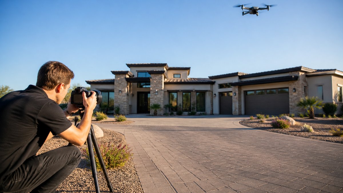
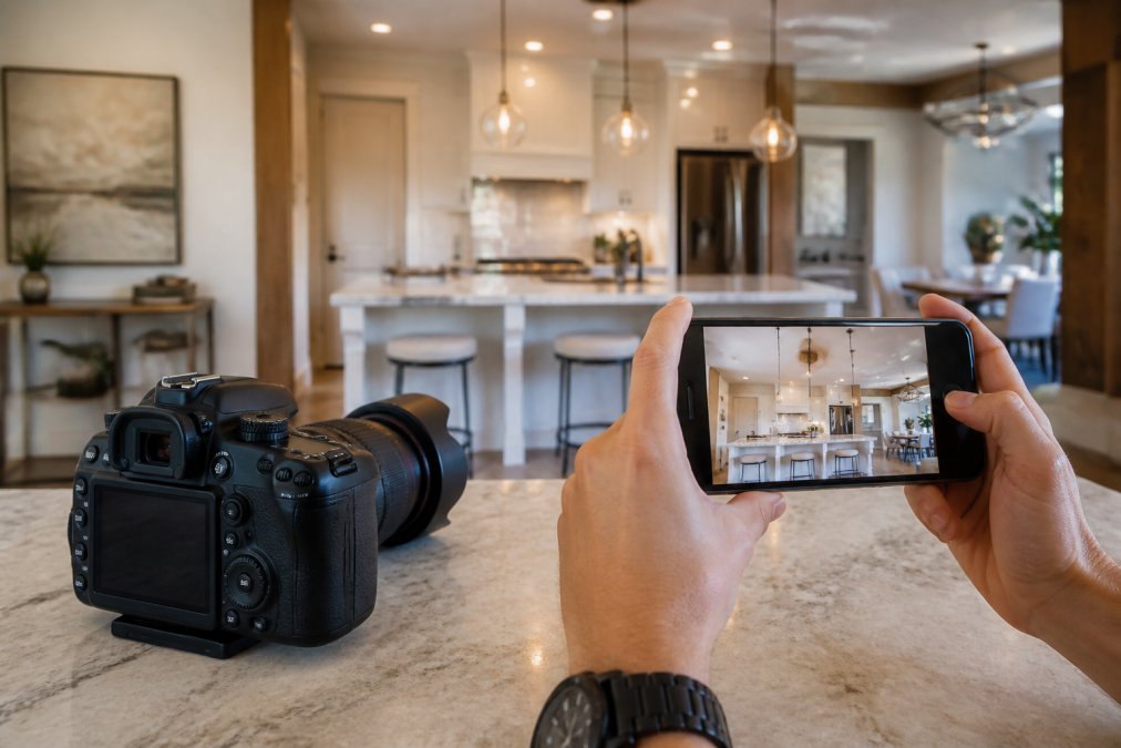
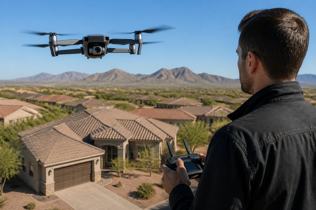
 comparison
Is Drone Photography Worth It for Small Residential Listings?
Table of Contents
- The Real Impact of Drone Photography on Small Residential Listings
- Benefits of Aerial Photography for Real Estate Marketing
- Drone Photography vs. Static Images: What Buyers Actually Respond To
- Real Estate Drone Photography Pricing and Budget Considerations
- FAA Part 107 Drone Requirements for Real Estate Photography
- Professional Drone Photography vs. DIY: Which Makes Sense for Your Listings
- When Drone Photography Delivers ROI for Small Properties
- Conclusion
Last Updated: August 26, 2026
The Real Impact of Drone Photography on Small Residential Listings
Drone photography has transformed how properties are marketed, but the question isn't whether it looks impressive, it's whether those aerial shots actually move inventory faster for smaller homes. The answer depends on several factors: lot size, neighborhood context, market conditions, and your budget constraints.
For small residential properties, the calculus is different than for sprawling estates. A 0.25-acre urban lot doesn't benefit from sweeping aerial vistas the same way a 2-acre property does. Yet aerial imagery still captures something static ground-level photos cannot: the property's relationship to its surroundings, the quality of landscaping, the actual footprint relative to the neighborhood, and the curb appeal from angles buyers will never see in person.
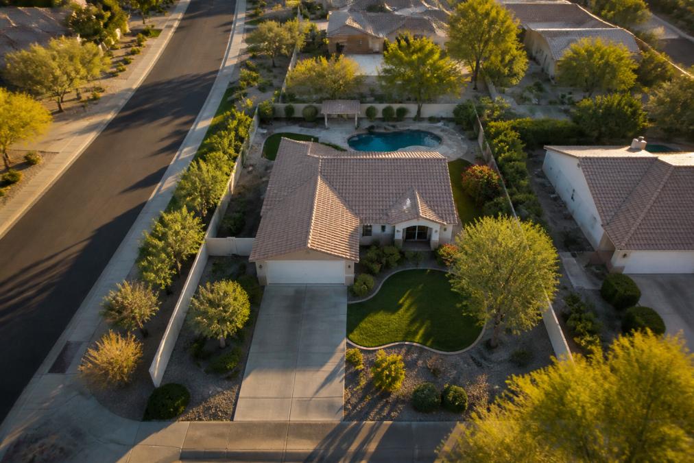
Desert Home Photography has worked with agents across the Phoenix Valley to understand when drone imagery moves the needle. The truth: drone photography delivers the strongest ROI when it reveals something unique about the property or its setting. If the home sits on a corner lot with mature trees, has a pool that's difficult to appreciate from ground level, or sits in a neighborhood with distinctive layout, aerial shots become a competitive advantage. If it's a standard suburban home on a typical street, the benefit is less pronounced.
According to National Association of Realtors market research, properties with professional photography sell faster than those without. The addition of drone footage adds another layer of visual storytelling that can differentiate a listing in competitive markets. However, the cost-benefit calculation for small properties requires honest assessment of what those aerial angles actually reveal about the home itself.
Benefits of Aerial Photography for Real Estate Marketing
Aerial photography transforms how buyers perceive property layout and neighborhood context. From 100 feet above, the relationship between the home, the lot, and surrounding properties becomes immediately clear, something no ground-level image can convey.
Curb appeal takes on new meaning from above. Landscaping, driveway condition, roof condition, and overall property maintenance become visible in ways that influence buyer perception before they ever step foot on the property. A well-maintained roof, mature trees, or attractive hardscaping shows up distinctly in aerial shots.
Neighborhood layout becomes a selling point. Buyers see proximity to parks, schools, shopping, and major streets. For properties in desirable neighborhoods with strong visual character, this context matters. Drone footage shows whether the home is tucked away on a quiet street or positioned prominently near amenities.
In-person showings increase when aerial imagery is compelling. Properties with professional drone photography generate higher engagement in listing portals, translating to more inquiries and more scheduled showings. The visual impact of aerial footage stops the scroll and creates curiosity about the property.
Visual storytelling becomes more complete. Combining ground-level photography with aerial perspectives creates a more comprehensive picture of the property. Buyers get multiple angles, multiple contexts, and a clearer sense of what they're actually purchasing.
The challenge with small residential lots is that these benefits compress. A 0.25-acre property doesn't offer the dramatic visual narrative of a larger estate. The aerial perspective is less dramatic, the neighborhood context less expansive, and the property's visual footprint smaller in the frame. This doesn't mean drone photography lacks value, it means the value is more conditional.
Drone Photography vs. Static Images: What Buyers Actually Respond To
Static photography captures detail. Drone footage captures context. Both matter, but they serve different purposes in the buyer's decision journey.
Static images, professional ground-level photography, show the home itself: the front elevation, landscaping details, interior spaces, finishes, and condition. These images answer the question "What is this house like?" Buyers rely on static imagery to evaluate the actual property.
Drone footage answers a different question: "Where is this house, and how does it fit into its surroundings?" The aerial perspective shows lot size relative to neighbors, neighborhood density, proximity to commercial areas, and the visual character of the street itself. For some buyers, this context is decisive. For others, it's secondary.
The real estate listing speed question hinges on whether that context matters for your specific property. A small home in a visually distinctive neighborhood, tree-lined streets, architectural character, clear separation from commercial zones, benefits significantly from aerial shots. The drone footage becomes part of the property's narrative. A small home in a generic suburban area sees less impact from aerial imagery because the neighborhood context is less compelling.
Research from real estate technology studies shows that listings with multiple visual assets, professional photography, drone footage, and virtual tours, generate higher engagement. However, the incremental benefit of adding drone footage to professional static photography is highest when the property or neighborhood has distinctive visual characteristics.
For small residential lots, the comparison often looks like this: professional static photography is non-negotiable. It's the foundation. Drone photography is the enhancement, valuable when it reveals something meaningful, less critical when it simply adds another angle of an unremarkable view.
Real Estate Drone Photography Pricing and Budget Considerations
Drone photography costs vary based on property size, complexity, location, and whether you're bundling it with other services. Understanding pricing helps you evaluate whether the investment makes sense for your specific listings.
Many real estate photographers charge per-property fees for drone footage, ranging from modest add-ons to standalone services. Some bundle aerial photography with professional ground-level photography and editing as part of a comprehensive package. Others charge separately based on the number of images, video duration, or editing complexity.
For agents managing multiple listings monthly, the math becomes clearer. If you're handling 15-20 properties per month and drone photography costs a certain amount per property, the annual investment is substantial. The question becomes: does that investment generate enough additional buyer engagement and faster sales to justify the expense?
Budget-conscious agents often start with professional static photography for all listings, then add drone footage selectively, for properties where the aerial perspective reveals something genuinely compelling about the lot, neighborhood, or property features. This tiered approach lets you allocate resources where they have the highest impact.
Desert Home Photography works with agents to build photography packages that fit their budget and their listing mix. The team understands that not every property needs every service, and the goal is to maximize the visual impact of each listing within realistic budget constraints.
Consider your listing volume, your typical property types, and your market conditions. In competitive markets where visual differentiation matters, drone photography becomes more valuable. In slower markets or for properties that sell primarily on fundamentals (price, location, condition), the ROI calculation shifts.
FAA Part 107 Drone Requirements for Real Estate Photography
If you're considering DIY drone photography or hiring a drone operator, understanding FAA regulations is essential. The Federal Aviation Administration requires specific licensing and operational compliance for commercial drone use, including real estate photography.
Part 107 certification is the regulatory requirement for anyone operating drones commercially (faa.gov). This certification means the operator has passed an FAA knowledge test, understands airspace regulations, weather limitations, and operational safety requirements. It's not optional for professional work, it's legally required.
Licensed operators understand airspace restrictions. Different altitudes, distances from airports, and proximity to populated areas have specific regulations. Operating near residential neighborhoods requires knowledge of these restrictions. An FAA Part 107 certified operator navigates these requirements automatically.
Insurance and liability protection are part of professional drone operations. Licensed operators carry appropriate insurance. This protects both the operator and the property owner from liability if something goes wrong during the flight.
When hiring a drone photographer, verify their FAA Part 107 certification. Ask for proof of licensing. Confirm they carry appropriate insurance. This isn't about being overly cautious, it's about ensuring the work is done legally and professionally.
Desert Home Photography operates with FAA-licensed drone operators who understand local airspace, weather patterns specific to the Phoenix Valley, and regulatory requirements. This expertise ensures that drone photography for your listings is conducted safely, legally, and professionally.
If you're considering DIY drone operations, understand that FAA Part 107 certification requires study, testing, and ongoing compliance with regulations. The investment in proper licensing is worthwhile if you're doing this regularly.
Professional Drone Photography vs. DIY: Which Makes Sense for Your Listings
The DIY versus professional decision depends on your operational capacity, budget constraints, and the quality standards your market demands.
DIY drone photography requires several investments: the drone itself (quality equipment ranges from mid-range to professional-grade), FAA Part 107 certification, liability insurance, and time to learn the craft. You're also responsible for weather assessment, flight planning, safety protocols, and post-processing.
The advantage is direct control and no per-listing costs once you've invested in equipment and training. The disadvantage is that quality drone photography requires skill. Camera angles, composition, lighting conditions, altitude selection, and editing all affect the final product. Most agents who try DIY drone work find that their early attempts look amateurish compared to professional work.
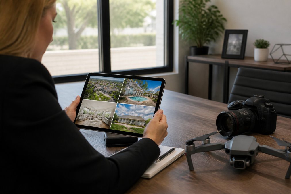
Professional drone photography costs per listing but eliminates the learning curve and equipment investment. A professional operator brings expertise in composition, lighting, altitude selection, and post-processing. The resulting imagery is polished and competitive with what other agents are producing.
For agents managing 15-20 listings monthly, the choice often comes down to this: Is your time better spent flying drones and editing footage, or listing properties and showing homes? Most find that outsourcing drone photography to a professional is more efficient.
The quality difference matters in competitive markets. Buyers scrolling through listings notice the difference between amateur drone footage and professionally captured aerial imagery. If your market is competitive and visual differentiation matters, professional work is worth the investment.
Desert Home Photography brings specialized expertise to drone photography for real estate. The team understands composition, lighting, and editing specific to property marketing. They know how to capture the angles that highlight a property's best features and neighborhood context.
For most agents, the recommendation is straightforward: hire a professional. The per-listing cost is manageable when distributed across your monthly volume, the quality is consistently strong, and you free up your time for client-facing work.
When Drone Photography Delivers ROI for Small Properties
Drone photography generates the strongest ROI for small residential properties in specific situations. Understanding these scenarios helps you make the right investment decision.
Corner lots and unusual lot shapes benefit significantly from aerial photography. The property's footprint relative to the street and neighboring properties becomes clear from above. If your small property has a distinctive lot shape or sits on a corner with visibility from multiple directions, drone footage highlights this advantage.
Properties with mature landscaping or distinctive outdoor features show well from above. A small property with mature trees, attractive hardscaping, or a pool becomes more visually interesting from aerial angles. The landscaping investment becomes visible in ways ground-level photos can't capture.
Neighborhoods with strong visual character benefit from aerial context. If the property sits in a tree-lined neighborhood, near parks, or in an area with distinctive architectural character, drone footage tells that story. Small properties in these neighborhoods compete better with aerial imagery included.
Properties in competitive markets where visual differentiation matters see the strongest ROI from drone photography. When multiple similar properties are listed simultaneously, professional aerial imagery can be the differentiator that generates more showings and faster sales.
Luxury small properties in desirable neighborhoods (Scottsdale, Paradise Valley, and similar areas) benefit from comprehensive visual storytelling that includes drone footage. In these markets, buyers expect professional-grade imagery across all formats.
Conversely, drone photography delivers less ROI for small properties in these situations:
Generic suburban lots where the aerial view simply shows a standard street and unremarkable neighborhood context. If the drone footage doesn't reveal anything compelling about the property or its setting, the investment may not justify the cost.
Properties where neighborhood context is neutral or negative. If the aerial view shows commercial areas, busy roads, or less desirable surroundings, drone footage may actually work against the listing.
Markets where ground-level photography is sufficient to generate buyer interest and showings. In slower markets or for properties selling primarily on price and condition, the incremental value of drone footage is lower.
The honest assessment: drone photography for small residential listings delivers ROI when it reveals something genuinely compelling about the property or its setting. When it's simply another angle of an unremarkable view, the investment is harder to justify.
Deciding whether drone photography is worth it for your small residential listings comes down to honest evaluation of your specific properties and market conditions. In competitive markets where visual differentiation matters, professional aerial imagery can be the edge that generates more showings and faster sales. For properties with distinctive lots, mature landscaping, or neighborhood context that benefits from aerial perspective, drone photography becomes a strategic investment.
The team at Desert Home Photography helps agents and homeowners evaluate whether drone photography makes sense for each specific listing. With FAA-licensed operators, professional editing, and expertise in real estate marketing, they deliver aerial imagery that moves inventory. Get in touch with Desert Home Photography to discuss your listing needs and explore how professional drone photography can elevate your property marketing strategy.
Frequently Asked Questions
Does drone photography actually increase the sale price of small homes?
Drone photography typically accelerates buyer interest and listing speed rather than directly inflating sale price. For small residential properties, aerial shots highlight lot size, neighborhood positioning, and curb appeal, factors that influence buyer perception. Properties with professional visual assets, including drone footage, attract more qualified showings. The value lies in faster market exposure and competitive advantage, not necessarily a higher final price.
How much does real estate drone photography pricing typically run?
Pricing depends on quantity, delivery timeline, and whether you combine drone work with other services. Professional drone operators charge based on project scope, property size, and editing requirements. For accurate pricing tailored to your listing volume and needs, contact Desert Home Photography directly for a quote. Many agents find bundled packages, drone footage plus hand-blended still photography, more cost-effective than purchasing services separately.
What are the FAA Part 107 drone requirements for real estate photography?
Commercial drone operators must hold an FAA Part 107 certification. This requires passing a knowledge test, maintaining a current certificate, and following operational rules including line-of-sight flight, altitude limits (400 feet), and daylight-only operations. Using an unlicensed operator exposes you to liability. When hiring a drone photographer, verify their FAA Part 107 credentials to ensure compliance and protection on your listings.
Is drone photography overkill for a small residential property?
Not if the property has distinctive features, elevated views of landscaping, pool, or lot layout, or sits in a competitive market where visual differentiation matters. Small lots benefit most from aerial shots that show curb appeal and neighborhood context. However, if your property is a standard suburban home in a low-competition market, static photography may be sufficient. Evaluate based on market saturation, property uniqueness, and your listing timeline.
Are there alternatives to drone photography for small listings?
Yes. Elevated static photography from ground level, virtual walk-through tours, and cinematic video can showcase small properties effectively. However, drone footage provides a unique perspective that static imagery cannot replicate, particularly for showing lot size and neighborhood layout. The best choice depends on your budget, the property's visual strengths, and how quickly you need to generate buyer engagement.
This article was written using GrandRanker