 comparison
Drone vs Ground Photography for Real Estate Listings
Table of Contents
- Why Listing Photography Matters: The Visual First Impression
- Understanding Real Estate Drone Photography
- Ground-Level Real Estate Photography: The Foundation of Every Listing
- Aerial Photography for Real Estate Listings: Coverage and Context
- Direct Comparison: Perspectives, Angles, and What Each Reveals
- The Hybrid Approach: Why Top Listings Use Both Methods
- Conclusion: Building Your Listing Strategy
- Frequently Asked Questions
Last Updated: October 8, 2026
Why Listing Photography Matters: The Visual First Impression
The first image a buyer sees determines whether they click deeper into your listing. In real estate marketing, that initial visual impression drives engagement, inquiry rates, and ultimately, offers.
Most agents rely on a single photography style without considering what each approach reveals. Ground-level photography captures architectural detail and interior flow. Aerial imagery shows property scale and neighborhood context. Together, they create a narrative that neither alone can achieve.
The question isn't which approach is better. It's how to use both strategically to maximize buyer interest and reduce time-on-market.
Understanding Real Estate Drone Photography
Drone photography captures perspectives impossible from the ground. An aerial view reveals property boundaries, lot size, landscaping scope, and how a home sits within its neighborhood. This bird's-eye perspective answers questions buyers ask before they ever step foot on the property.
What Drone Imagery Reveals
Aerial photography shows what ground-level shots cannot: the full property footprint, lot boundaries, and the relationship between the home and surrounding properties. Buyers evaluating a home in a competitive neighborhood want to understand scale and location context immediately. A drone shot of the entire property, driveway, pool, and yard layout communicates value that three ground photos cannot.
Drone imagery also highlights exterior features like roof condition, pool size, deck layout, and landscaping scope. These details matter to buyers considering renovation costs or property maintenance. The wide-angle perspective from above creates visual storytelling that feels comprehensive.
FAA Compliance and Certification Requirements
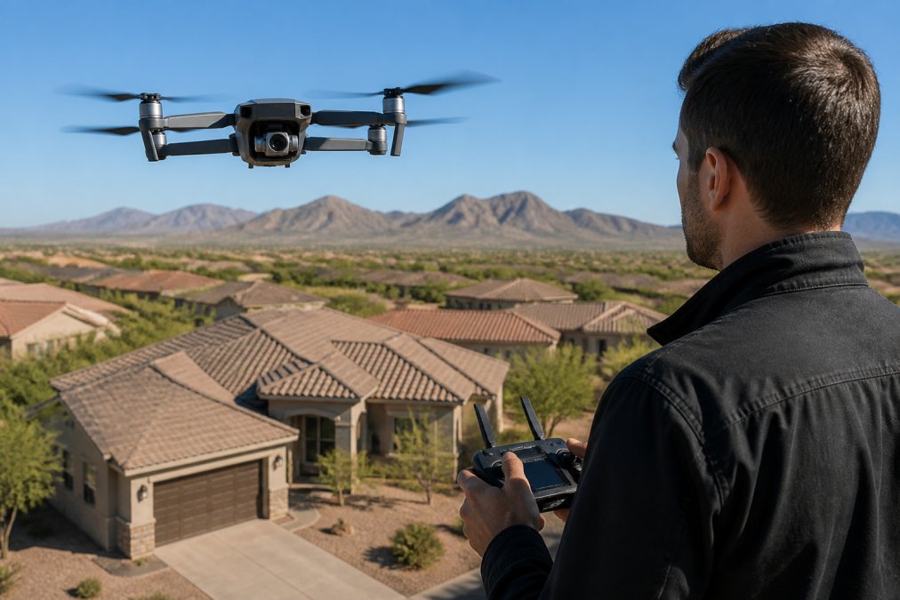
Operating a drone for commercial real estate photography requires FAA certification. Part 107 regulations govern commercial drone operations, and compliance is non-negotiable. An FAA-licensed drone pilot has passed knowledge tests, demonstrated safe operating practices, and maintains current certification.
Hiring a certified operator protects you from liability. Unlicensed drone operation carries federal penalties and potential liability issues if anything goes wrong. When you work with Desert Home Photography, our FAA-licensed operators handle all compliance requirements, giving you peace of mind that your listing photography meets federal standards.
Ground-Level Real Estate Photography: The Foundation of Every Listing
Ground photography forms the backbone of every listing presentation. These images capture what buyers experience when they walk through a property: room proportions, finishes, natural light, and spatial flow. Interior and exterior ground shots create the emotional connection that drives buyer interest.
Interior and Architectural Detail Capture
Interior photography requires technical skill in handling challenging lighting conditions common in residential spaces.
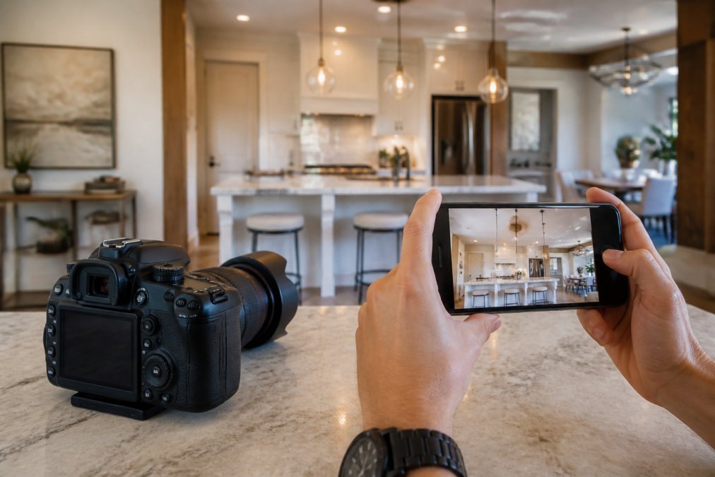
Professional interior photography uses techniques like exposure blending and hand-blended imaging to reveal room details that phones cannot capture. A master bedroom with great natural light should look inviting, not dark.
Ground-level shots also capture architectural features: crown molding, hardwood floors, tile work, built-ins, and finishes. These details differentiate a property and justify pricing. High-resolution ground photography showcases what makes a home unique.
Handling Challenging Lighting Conditions
Valley properties face intense sunlight, deep shadows, and dramatic contrast that challenge standard photography. A south-facing room at midday becomes overexposed. A north-facing room appears dim. Interiors with large windows and dark furnishings create exposure conflicts.
Professional photographers manage these challenges through technique. Shooting during optimal times of day, using supplemental lighting, and applying careful post-processing ensures rooms appear as they actually look, inviting and well-lit. Hand-blended editing techniques allow photographers to recover detail in both bright and dark areas, creating images that feel natural rather than artificially processed.
Aerial Photography for Real Estate Listings: Coverage and Context
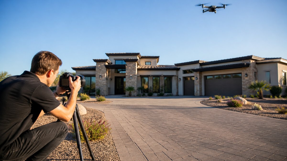
Aerial drone photography provides geographic context that ground photography cannot. It shows how a property fits within its neighborhood, the proximity to amenities, and the overall lot configuration.
Drone imagery works particularly well for luxury properties, acreage, and homes with significant outdoor features. A 2-acre property with a pool, guest house, and mature landscaping tells a different story from the air than from the ground.
The combination of drone vs ground photography creates a complete visual narrative. Buyers see both the intimate interior experience and the broader property and neighborhood story.
Direct Comparison: Perspectives, Angles, and What Each Reveals
Ground photography and drone photography serve different purposes in a listing presentation. Understanding what each reveals helps you decide which approach, or combination, best serves your property.
Property Scale and Lot Boundaries
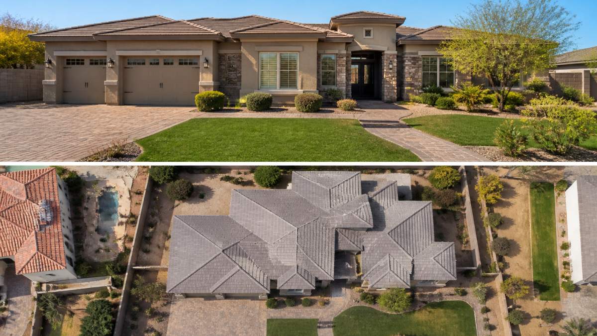
A ground-level photo of a home's front elevation cannot communicate lot size. A drone shot showing the entire property footprint, driveway, and surrounding land immediately answers the question: "How much land comes with this property?" This perspective is especially valuable for properties with acreage, multiple structures, or unique lot configurations.
Buyers evaluating properties in competitive neighborhoods want to understand relative scale. Is this home on a standard suburban lot or premium acreage? Aerial imagery answers this question instantly. Ground photography alone leaves this critical detail ambiguous.
Curb Appeal and Neighborhood Context
Ground-level photography captures curb appeal: landscaping, exterior finishes, entry features, and overall home presentation. These images create the emotional first impression that makes buyers want to schedule a showing. A well-maintained front yard, attractive entry, and quality landscaping all appear in ground-level shots.
Aerial photography adds neighborhood context. How does the property sit relative to nearby homes? Is it in a tree-lined street, an open development, or a premium area with larger lots? Neighborhood context influences buyer perception of value and desirability. Aerial imagery reveals this context that ground photos cannot.
Interior Flow and Room Finishes
Interior ground photography showcases room proportions, finishes, and how spaces connect. Buyers evaluating livability want to see how rooms flow together, natural light patterns, and finish quality. These details only appear in ground-level interior photography.
A series of interior images showing the entry, living room, kitchen, bedrooms, and bathrooms creates a walkthrough experience that helps buyers mentally navigate the property. Drone photography cannot replicate this intimate perspective. The combination of interior ground shots and exterior aerial views provides complete visual storytelling.
The Hybrid Approach: Why Top Listings Use Both Methods
The most effective listing presentations often combine ground-level and aerial photography, and the value can come from sequencing and placement, not from simply owning both sets of files. A hybrid shoot should be planned as a single visual narrative: ground images carry the emotional walkthrough, aerial images establish scale and location, and each is deployed where it performs best.
A Practical Shot List for a Hybrid Shoot
A repeatable hybrid shot list can help keep listings consistent and make editing and delivery predictable:
- Aerial (10-15 frames): straight-down lot boundary shot, 45-degree front approach, rear elevation showing yard and pool, neighborhood context shot from 200-400 feet, and a low-altitude approach shot for the hero image.
- Ground exterior (8-12 frames): front elevation at twilight and daylight, entry detail, curb-appeal wide shot, and any architectural feature that reads poorly from the air (stonework, porticos, custom garage doors).
- Ground interior (20-30 frames): entry, living, kitchen, primary suite, secondary bedrooms, bathrooms, and any feature that justifies price (butler's pantry, wine room, home office).
- Detail frames (5-8): finishes, fixtures, and hardware that buyers zoom into on mobile.
Shooting aerial first while light is even, then moving inside as the sun climbs, is a common pattern that can help avoid the harsh midday contrast that plagues south- and west-facing rooms.
Platform-Specific Optimization
Where an image lives changes how it should be cropped and ordered. A few working rules:
- MLS: Lead with the ground-level front elevation. Most MLS platforms compress and crop the primary photo into a square or 4:3 thumbnail, and a wide aerial shot loses its context at that size. Reserve aerials for positions 2-4, where they answer the lot-size question before the buyer scrolls to interiors.
- Zillow and syndicated portals: The first image drives click-through, and the map pin sits beside the listing. A neighborhood-context aerial in the first five images reinforces the map pin and reduces the 'where exactly is this?' bounce.
- Social (Instagram, Facebook, TikTok): Vertical crops favor ground-level detail and twilight exteriors. Aerial video clips of 6-10 seconds outperform static aerials because the motion communicates scale in a way a still cannot.
- Print brochures and flyers: Aerial stills hold up in print only if the drone camera has a large sensor. Small-sensor drone files often fall apart above 8x10 inches, so reserve the largest print real estate for full-frame ground captures and use aerials at smaller sizes.
ROI and Listing Conversion Impact
The mechanism behind the hybrid lift is often straightforward: aerials can answer scale and location questions before a showing, and ground interiors can answer livability questions. When both are present, the buyer may arrive at the showing already qualified, which can shorten the decision cycle.
A common pattern agents report is that listings with a complete hybrid package can generate more saved listings and more showing requests in the first 7-10 days than comparable listings with ground-only coverage, the window when a listing often gets its heaviest portal traffic.
Budgeting for a Complete Media Package
A complete listing media package often includes ground exterior, ground interior, and aerial coverage, with optional video and floor plans. Pricing varies by market, property size, travel distance, and turnaround, but the structural decision is often the same: consider aerial coverage where it changes the buyer's understanding of the property.
Agents with consistent monthly listing volume may find better economics from a per-listing package than from à la carte add-ons, as photographers can often batch travel and editing.
Conclusion: Building Your Listing Strategy
The choice between drone and ground photography isn't either/or. The strongest listings use both methods to communicate property scale, detail, neighborhood context, and emotional appeal.
Desert Home Photography combines FAA-licensed drone operators with professional ground-level photography to create comprehensive listing presentations.
FAA Part 107 regulations for commercial drone operations govern all professional drone photography.
Contact Desert Home Photography today to discuss how professional ground and aerial photography can elevate your listing presentations and accelerate your sales cycle.
Frequently Asked Questions
Is drone photography worth it for a real estate listing?
Drone photography adds measurable value when the property has features that benefit from aerial perspective: large lot size, unique landscaping, pool or outdoor amenities, or distinctive architectural elements. For properties in tight urban settings or those where interior features are the primary selling point, ground-level photography alone may be sufficient. The decision depends on your property's strengths and your target buyer. Luxury listings and homes with significant acreage almost always benefit from aerial imagery to showcase scale and context.
Can drone photos replace traditional ground-level real estate photography?
No. Drone photography cannot capture interior details, architectural finishes, or the intimate scale that buyers experience when viewing a home in person. Ground-level photos show room flow, lighting quality, and design details that aerial images cannot convey. The best listings combine both approaches: drone imagery establishes the property's scale, lot size, and neighborhood position, while ground-level photography documents the features that influence purchase decisions. Each method answers different buyer questions.
What are the FAA rules for real estate drone photography?
The FAA requires that anyone operating a drone for commercial purposes (including real estate photography) must hold a Part 107 Remote Pilot Certificate. Operators must maintain visual line of sight, fly below 400 feet, avoid flying over people or moving vehicles, and follow local airspace restrictions. Many properties fall within controlled airspace near airports, requiring additional clearance. Hiring an FAA-licensed drone pilot ensures compliance, eliminates liability concerns, and guarantees that your listing photos meet regulatory standards.
How much does it cost to add drone photography to a listing?
Pricing depends on the number of photos needed, delivery timeline, property location, and whether post-processing or editing is included. Some photographers bundle drone imagery with ground-level photography as part of a complete media package, while others charge separately. Contact Desert Home Photography for a quote tailored to your specific listing needs. For agents managing multiple properties monthly, package pricing often provides better value than per-listing rates.