 listicle
Best Drones for Luxury Real Estate Photography
Table of Contents
- What Makes a Drone Ideal for Luxury Real Estate Photography
- Key Features for High-End Property Aerial Photography
- FAA-Licensed Drone Photography and Regulatory Compliance
- Best Practices for Luxury Real Estate Aerials
- Real Estate Drone Photography Pricing and Budget Considerations
- Obstacle Avoidance, Stabilization, and Safety Features
- Integrating Drone Footage with Virtual Tours and Post-Production
- Frequently Asked Questions
Last Updated: September 3, 2026
What Makes a Drone Ideal for Luxury Real Estate Photography
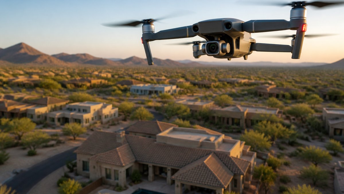
The difference between a standard real estate drone and one suited for luxury listings comes down to sensor quality, stabilization precision, and the ability to capture fine detail in challenging light. High-end properties demand more than basic aerial coverage. They require the technical capability to showcase architectural nuance, landscape scale, and property exclusivity in a way that justifies premium pricing.
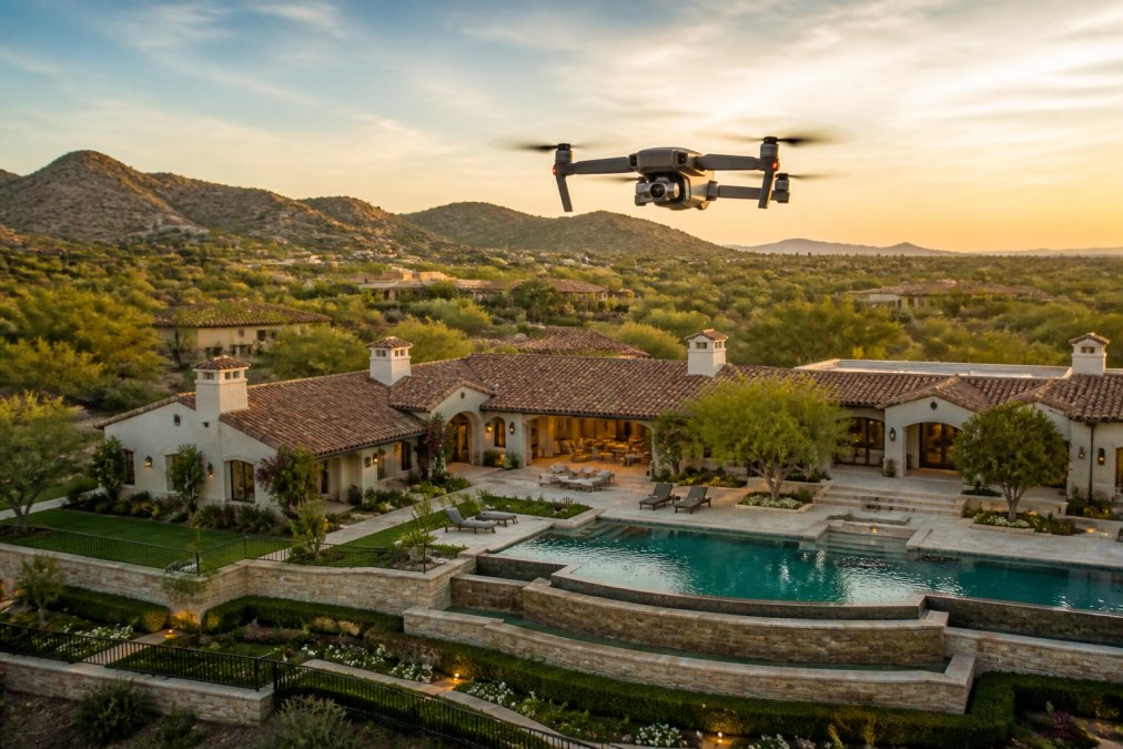
When you're marketing a $3 million property, the drone footage needs to match the caliber of the listing. That means larger sensors for better dynamic range, gimbal stabilization that eliminates micro-vibrations, and flight characteristics that allow smooth, controlled movements through complex airspace. The best drones for luxury real estate photography share specific technical traits: they prioritize image quality over speed, include obstacle avoidance systems that prevent costly accidents near high-value homes, and deliver consistent color grading that integrates seamlessly with hand-blended interior photography.
The market expectation for luxury real estate photography has shifted. Agents representing high-end properties expect drone footage that rivals cinematic production quality. This means your equipment choice directly impacts your ability to compete for premium listings. Desert Home Photography integrates FAA-licensed drone photography with hand-blended imaging techniques, ensuring that aerial footage aligns with the refined aesthetic of interior and exterior shots.
Key Features for High-End Property Aerial Photography
Professional-grade drone photography for luxury listings depends on five core technical specifications: sensor size, gimbal stabilization, flight time, obstacle avoidance systems, and video bitrate capacity. Each directly affects the final deliverable quality.
Sensor size determines dynamic range and low-light performance. Larger sensors capture more light information, which is critical during twilight photography, a premium service for luxury estates. A full-frame or APS-C equivalent sensor handles the contrast between bright skies and shadowed architectural details without losing detail in either range. This capability separates luxury-grade equipment from consumer drones.
Gimbal stabilization goes beyond basic mechanical damping. Look for three-axis gimbals with active tracking, which compensates for wind drift and pilot input micro-movements. The result is footage smooth enough for slow, deliberate reveals of property features. A gimbal that introduces even minor vibrations becomes visible during post-production color grading and can undermine the premium presentation.
Flight time directly affects your ability to capture comprehensive aerials. Luxury properties often require multiple passes from different angles and altitudes. Drones offering 25-35 minutes of flight time allow you to execute complete shot lists without battery swaps interrupting your workflow. This efficiency reduces on-site time and increases your capacity for listings.
Obstacle avoidance using visual positioning and GPS stabilization prevents accidents near structures. High-end properties often feature complex rooflines, mature trees, and pools. Redundant sensor systems (forward, rear, downward) provide comprehensive situational awareness, protecting both equipment and property during flight.
Video bitrate and raw format support enable professional post-production. Recording in 4K at high bitrates (100+ Mbps) or capturing raw video preserves color information for grading. This flexibility is essential when integrating drone footage with interior shots that have undergone hand-blended editing.
| Feature | Why It Matters for Luxury Listings | Minimum Specification |
|---|---|---|
| Sensor Size | Captures detail in high-contrast lighting during twilight photography | APS-C equivalent or larger |
| Gimbal Stabilization | Eliminates micro-vibrations visible in slow, deliberate reveals | Three-axis active tracking |
| Flight Time | Reduces on-site time and battery swaps during comprehensive shoots | 25+ minutes per battery |
| Obstacle Avoidance | Prevents collisions near high-value structures and landscaping | Multi-directional sensor arrays |
| Video Bitrate | Preserves color information for professional post-production grading | 100+ Mbps in 4K |
FAA-Licensed Drone Photography and Regulatory Compliance
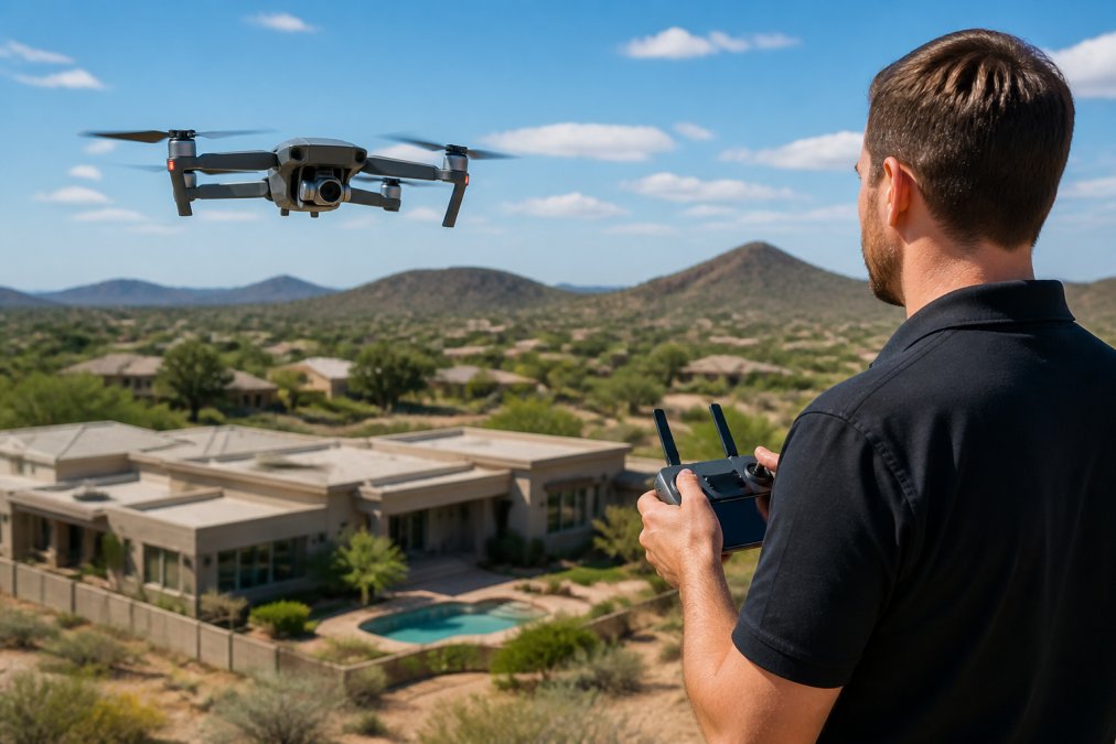
Operating a drone for commercial real estate photography requires Part 107 certification from the Federal Aviation Administration. This is non-negotiable for professional work. The certification confirms that the pilot understands airspace regulations, safety protocols, and the legal boundaries of commercial drone operation.
FAA Part 107 regulations for commercial drone operations establish specific rules: flights must remain within visual line of sight, altitude cannot exceed 400 feet above ground level, and operations near airports or restricted airspace require explicit authorization. For luxury estates, this last point matters significantly. Properties in high-density areas or near commercial airspace demand pre-flight coordination with local air traffic control.
Beyond federal requirements, many municipalities impose additional restrictions. Some jurisdictions require local permits for commercial drone operations, even with Part 107 certification. Luxury properties in certain regions may have homeowner association rules or local ordinances that further constrain flight parameters. Professional operators, like those at Desert Home Photography, verify compliance at the local level before scheduling shoots.
Insurance is the final compliance layer. Commercial drone operators should carry general liability coverage that explicitly includes unmanned aircraft operations. This protects against property damage claims if equipment fails near structures. For luxury estates, where a single accident could damage expensive landscaping or architectural features, insurance isn't optional, it's essential risk management.
Best Practices for Luxury Real Estate Aerials
Capturing compelling aerial footage of luxury properties requires more than technical proficiency. It demands strategic planning around lighting, flight paths, and integration with ground-level photography.
Timing and lighting shape the entire aesthetic. Golden hour, the period shortly after sunrise or before sunset, provides warm, directional light that flatters architectural features and landscaping. For luxury estates, twilight photography (the 20-30 minutes after sunset) offers a distinct advantage: the sky retains color while property lighting creates visual interest. This requires drones capable of low-light performance and precise shutter speed control to balance sky and structure exposure.
Flight path planning should emphasize property features, not arbitrary camera movements. A common mistake is treating aerial footage as a continuous orbit around the property. Instead, plan discrete shot sequences: a wide establishing shot showing property scale and setting, medium shots revealing architectural details and landscaping, and detail shots highlighting unique features like pools, gardens, or outdoor living spaces. This structured approach creates a narrative that integrates smoothly with interior photography during post-production.
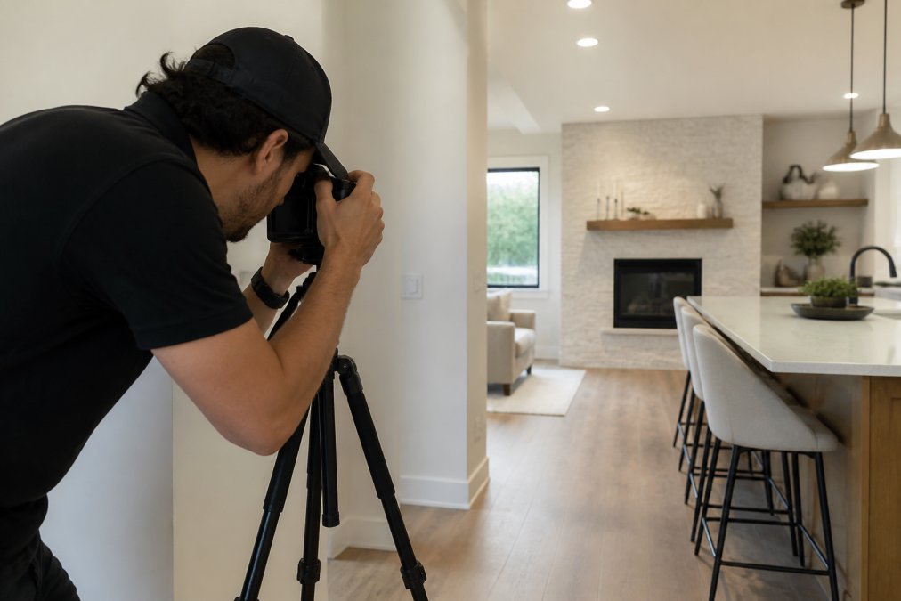
Integration with virtual tours has become standard for high-end listings. Drone footage should be shot with 3D virtual tour integration in mind. Consistent color grading between aerial and interior sequences, matching field of view where possible, and maintaining consistent shot composition all support seamless transitions in immersive experiences. This requires coordination between drone operators and interior photographers, ensuring both capture images with compatible color profiles and lighting intent.
Post-production color grading is where hand-blended techniques elevate luxury aerial footage. Raw or high-bitrate video allows extensive adjustment without quality loss. Luxury properties demand color consistency: sky tones should feel natural, architectural materials should render authentically, and landscaping should appear vibrant without oversaturation. This level of refinement requires dedicated color grading expertise, not automated processing.
Real Estate Drone Photography Pricing and Budget Considerations
Pricing for professional real estate drone photography varies based on property complexity, shot list scope, and post-production requirements. For agents managing multiple listings, understanding cost structure helps with budgeting decisions.
Factors affecting pricing include property size (larger estates require more flight time and multiple passes), location complexity (urban properties with airspace restrictions cost more than rural estates), and deliverable specifications (4K video, raw format, virtual tour integration, and color grading all add value). Twilight photography commands a premium because it requires specialized lighting knowledge and extended on-site time.
Many professional operators structure pricing around package tiers rather than hourly rates. A basic package might include standard daylight aerials with standard color grading. Mid-tier packages add twilight photography, extended flight time, and higher bitrate video. Premium packages include raw format delivery, advanced color grading, and integration support for virtual tours.
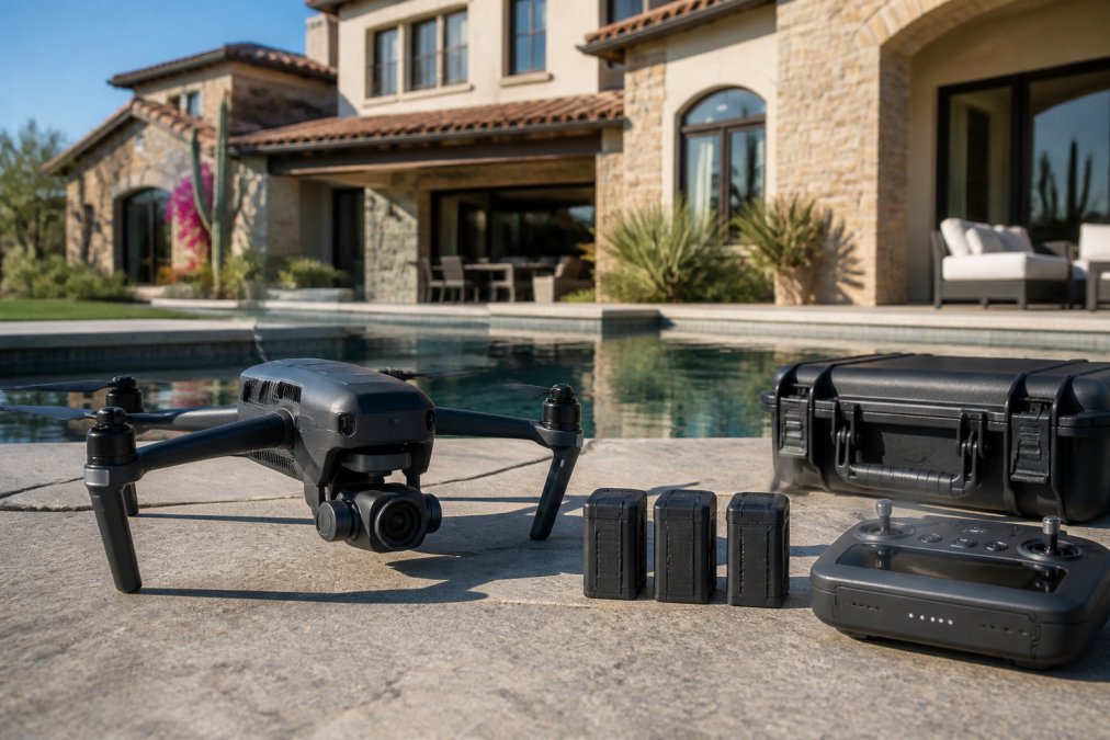
For agents considering in-house drone operations, equipment costs represent a significant investment. A professional-grade drone suitable for luxury listings ranges in cost, with additional expenses for spare batteries, ND filters, gimbal maintenance, and backup equipment. Factor in the time required to obtain Part 107 certification and maintain proficiency. Many agents find outsourcing to FAA-licensed professionals like Desert Home Photography more cost-effective than managing equipment and training internally.
Delivery timelines matter for competitive listing environments. Standard turnaround is 3-5 business days from shoot to delivery. Rush services incur premiums. Agents requiring same-day delivery should discuss feasibility and costs upfront.
Obstacle Avoidance, Stabilization, and Safety Features
Safety systems have become fundamental to professional drone operations, particularly near high-value properties where accidents carry significant liability and reputational consequences.
Modern obstacle avoidance relies on multiple sensor types: forward-facing cameras detect stationary obstacles, rear sensors protect during retreat, and downward sensors prevent ground strikes during landing. The most advanced systems use lidar in addition to visual sensors, providing precise distance measurement even in poor lighting or against low-contrast surfaces like trees.
GPS stabilization maintains position and altitude without pilot input, critical for smooth footage during complex maneuvers. Advanced positioning systems integrate visual positioning data (from camera analysis of ground features) with GPS, providing redundancy if one system degrades. This dual-layer approach ensures consistent flight stability even in areas with GPS signal interference.
Wind resistance varies significantly among professional drones. Larger, heavier aircraft handle wind better than lighter models, though at the cost of reduced flight time. For luxury estates in exposed locations, hilltops, coastal properties, open grounds, wind resistance becomes a practical consideration. A drone that struggles in 15-knot winds limits your ability to capture consistent footage across varying weather conditions.
Propeller noise reduction has become a selling point for premium drones. Quieter operation reduces disturbance to neighbors and reduces ambient noise in video recordings. For properties in residential areas, particularly luxury neighborhoods where privacy concerns run high, quieter drones demonstrate professionalism and respect for surrounding properties.
Integrating Drone Footage with Virtual Tours and Post-Production
The integration of aerial photography with immersive virtual tours represents a sophisticated approach to luxury property marketing. Seamless integration requires planning across multiple production stages.
Color consistency is foundational. Drone footage and interior photography must share compatible color profiles and white balance. This requires coordination between operators: aerial shoots should use consistent color temperature assumptions (typically daylight balanced at 5500K), and interior photography should match these assumptions during hand-blended editing. Mismatched color between aerial and interior sequences breaks the immersive experience.
Field of view alignment supports smooth transitions in virtual tours. When drone footage transitions to interior photography, consistent framing creates visual continuity. A wide-angle exterior shot followed by a wide-angle interior view feels natural. Mixing ultra-wide exterior footage with narrow interior shots creates jarring transitions that undermine the premium presentation.
Waypoint navigation enables repeatable flight paths, useful when revisiting properties for seasonal updates or additional shots. Programmed flight paths ensure consistent framing across multiple shoot dates, supporting long-term virtual tour updates without visual discontinuity.
Raw format delivery from drone footage preserves maximum color information for post-production. Unlike compressed video formats, raw captures allow extensive adjustment without quality degradation. This flexibility is essential when matching drone footage color to interior photography during the final grading pass.
Metadata preservation supports efficient post-production workflows. Flight data, camera settings, and timestamp information embedded in raw files help organize footage and inform color grading decisions. Professional post-production systems use this metadata to simplify the integration process.
Best practices for integrating drone footage into real estate virtual tours emphasize the importance of planning integration requirements before shooting. Specifying virtual tour platform requirements, video format specifications, and color space standards ensures that drone footage meets technical requirements without requiring expensive re-processing.
Luxury real estate photography demands technical precision, regulatory compliance, and aesthetic refinement. The best drones for luxury listings deliver exceptional image quality through large sensors, advanced stabilization, and professional-grade video capabilities. Pairing this equipment with FAA-licensed operation, strategic shooting practices, and meticulous post-production creates aerial photography that elevates premium property marketing.
Desert Home Photography brings together FAA-licensed drone expertise with hand-blended imaging techniques, ensuring that aerial footage aligns seamlessly with professional interior photography. Our approach to luxury real estate aerials integrates technical proficiency with aesthetic consistency, delivering the refined visual presentation that high-end properties demand. Contact Desert Home Photography to discuss how professional drone photography can enhance your luxury property marketing.
Frequently Asked Questions
Are FAA-licensed drone pilots required for real estate listings?
Yes. The FAA requires any commercial drone operation, including real estate photography, to be conducted by a Part 107 certified pilot. This certification involves passing an FAA knowledge test and demonstrates your understanding of airspace regulations, safety protocols, and flight restrictions. Using an unlicensed operator exposes you and the property owner to liability and potential fines. When hiring a drone service, always verify their Part 107 certification and insurance coverage.
What makes drone photography effective for luxury properties?
Luxury properties benefit from aerial perspectives that showcase scale, landscape design, proximity to amenities, and architectural detail impossible to capture from ground level. High-resolution 4K imaging, gimbal stabilization, and dynamic range capability preserve detail in both bright skies and shadowed areas. Twilight photography reveals outdoor lighting design and pool features. Drone footage also integrates seamlessly into virtual tours, giving buyers a complete spatial understanding of the property's grounds and positioning within the neighborhood.
How much do real estate agents pay for drone photography?
Real estate drone photography pricing depends on property size, location, delivery timeline, and whether you need video, still images, or both. Some providers charge per listing, others by the hour or as part of a package. For agents managing multiple listings monthly, bundled pricing often proves more economical than per-property rates. Contact Desert Home Photography for a quote tailored to your volume and specific needs.
What drone features matter most for high-end property photography?
Prioritize sensor size and resolution for sharp, detailed images; gimbal stabilization for smooth video without jitter; obstacle avoidance to safely navigate complex architectural features; extended flight time for comprehensive property coverage; and low-light performance for twilight shots that showcase outdoor lighting. GPS stabilization and automated flight modes like waypoint navigation enable consistent, repeatable flight paths. Raw image format gives you maximum flexibility in post-production color grading.
This article was written using GrandRanker